About the Instrument
Instrument Type
Other
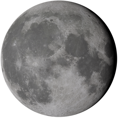
The Mini-RF project put two synthetic aperture radars in orbit around the Moon to map its surface at wavelengths of 4.2 and 12.6 cm, measure its surface roughness, search for water ice near the poles and demonstrate NASA communications technologies. The first instrument launched in October 2008 on the Indian Space Research Organisation’s Chandrayaan-1 spacecraft and collected data of both polar regions through August 2009. The second instrument, currently flying on NASA’s Lunar Reconnaissance Orbiter (LRO), launched in June 2009 and has collected radar data of the lunar surface for more than a decade.
Mini-RF can sense the properties of lunar regolith — the dusty layer covering the Moon’s rocky surface — to depths of meters, and has provided unique insight regarding the potential for water ice in permanently shadowed regions of the Moon. Combined with other data acquired by the LRO spacecraft, Mini-RF has also contributed to our understanding of impact melts, volcanic deposits, lunar swirls and many other unique and fundamental processes observed on the Moon