About the Instrument
Instrument Type
Optical
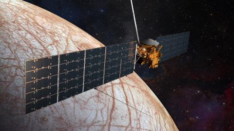
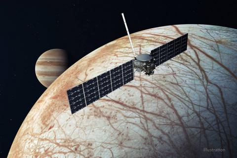
The Europa Imaging System (EIS), an essential part of NASA’s Europa Clipper mission, consists of two cameras: a wide-angle camera that will acquire a continuous image swath, in color and stereo, along the surface under the orbiting spacecraft; and a gimbal-mounted, high-resolution narrow-angle camera that will reveal features as small as 3 feet across as it performs global mapping and regional stereo imaging.
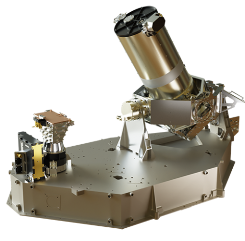
Each camera has an 8-megapixel detector that enables extremely fast imaging in low light. EIS color images will span the near-ultraviolet through the near-infrared ranges at six broadband wavelengths.
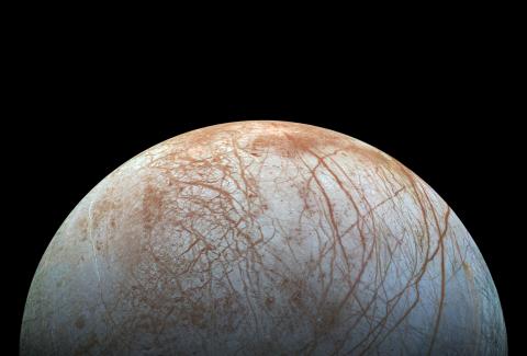
EIS will allow groundbreaking measurements and map most of Europa, an icy ocean world moon of Jupiter, at resolutions previous missions could only achieve in specific areas. EIS data will offer unprecedented insight into Europa’s geological structure and processes. Mission scientists will use EIS to learn how Europa’s geologic features form and how they relate to structures under the surface — gaining insight into the ice shell that covers Europa’s interior ocean. EIS will also be used to search for evidence of recent or current geologic activity, including erupting plumes.
Mission